
Commercial drone documentation. Built for field decisions.
St. Louis Commercial Drone Services
Organized aerial data, RTK mapping support, thermal capture, and repeatable reporting for roofing, solar, construction, property, facility and industrial teams.
FAA Part 107 Certificated Pilots
RTK-enabled platform
Vet. & Federal Law Enforcement (Ret.) Owned
Commercial-ready Deliverables
Safety-minded Operations
Focused Service Lanes
Useful field data, organized around the work.
Six commercially grounded services for projects where access, repeatability, site context, or reporting quality matter.
01
Roof, facade & building documentation
Visible exterior documentation for roofs, facades, and building envelopes, with paired thermal capture available when useful and environmental conditions support it.
02
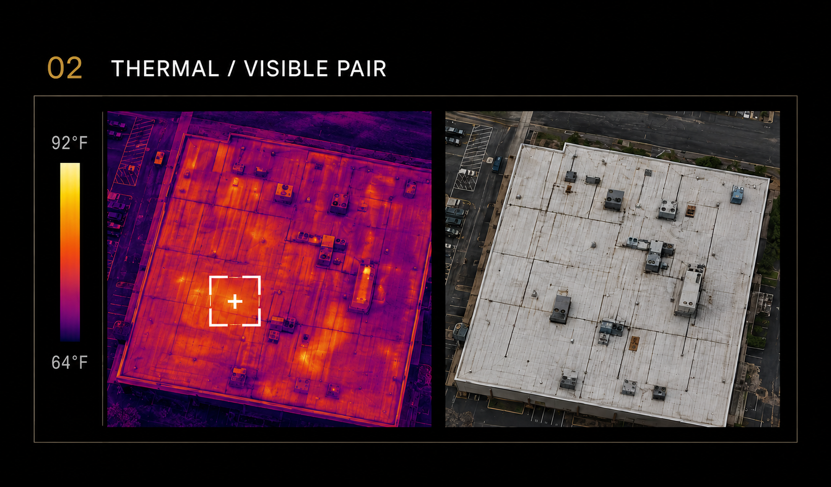
Thermal data capture
Paired radiometric thermal and visible imagery for roof and building-envelope reviews, solar arrays, exposed electrical systems, facilities, and industrial assets.
03
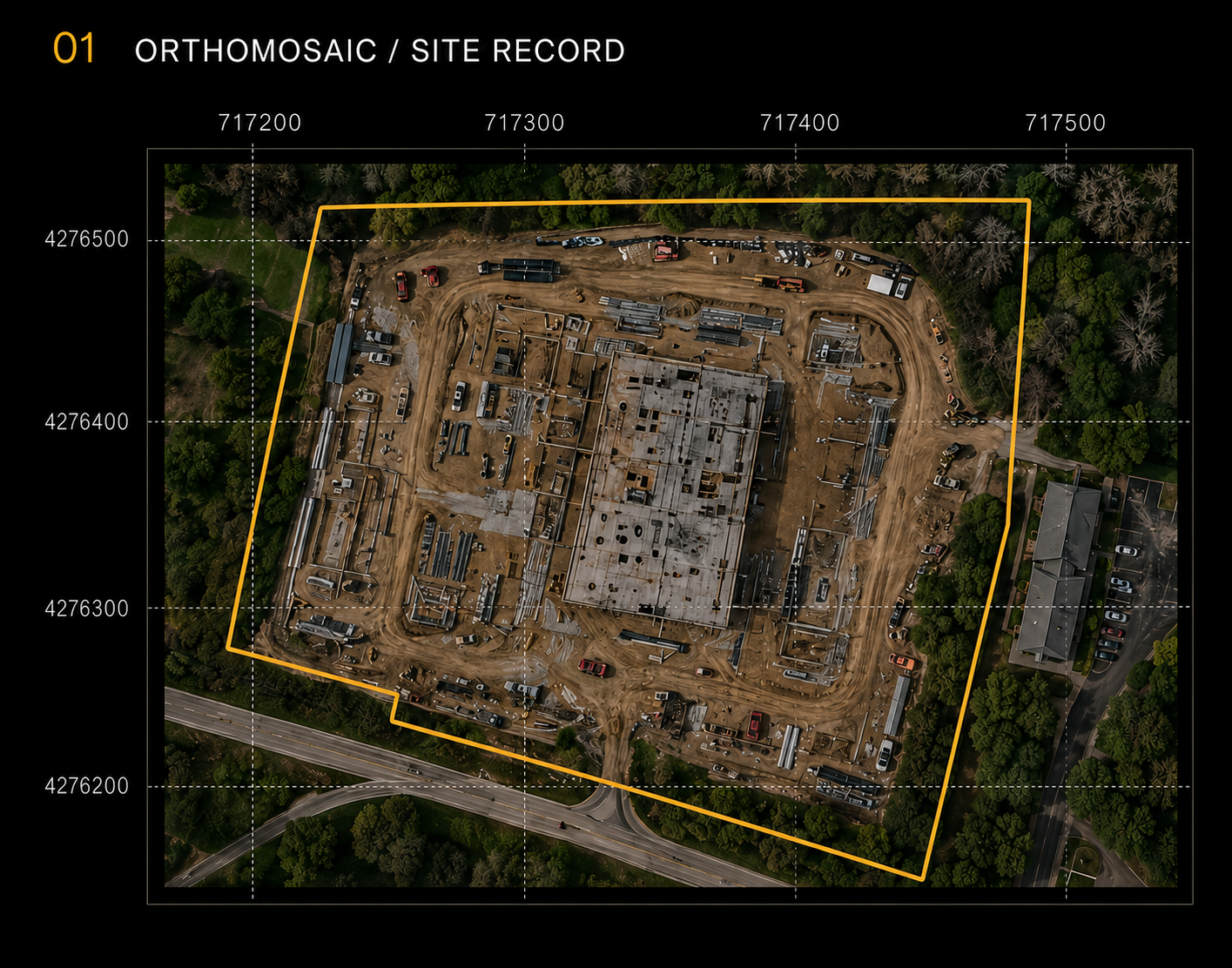
RTK mapping & site documentation
Repeatable aerial mapping support for site baselines, planning, tracking, and stakeholder communication.
04
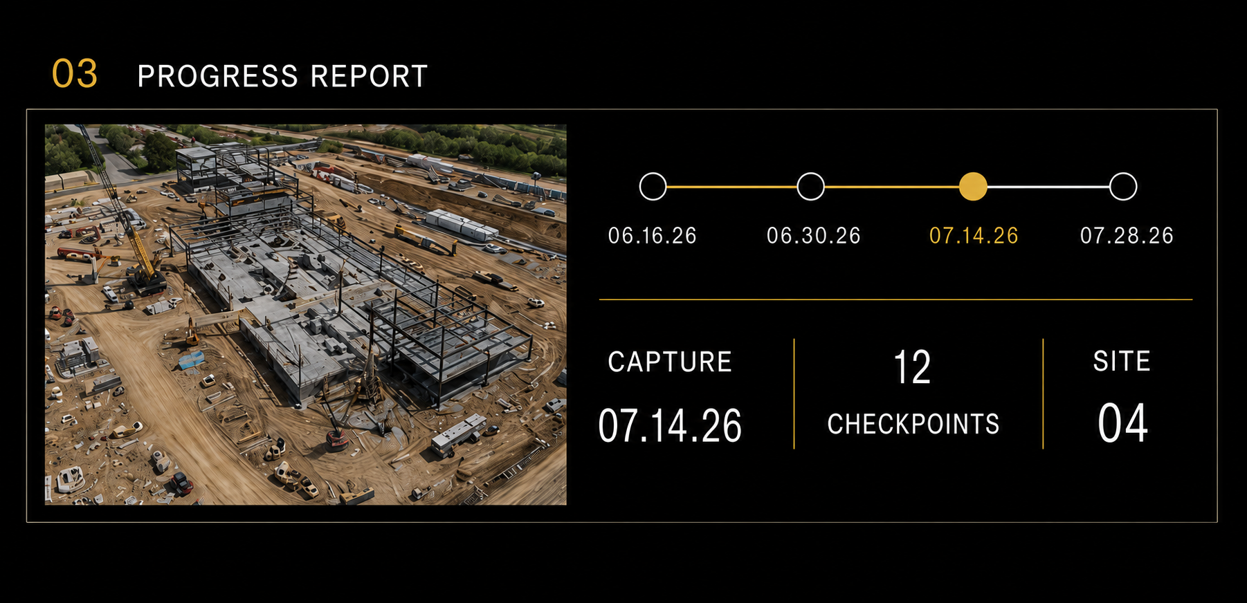
Construction progress reporting
Consistent site visits that make progress easier to review across owners, lenders, contractors, and stakeholders.
05
Stockpile, earthwork & site volumes
Practical volume and surface reporting for operational planning, reconciliation, and recurring site visibility.
06
Industrial asset documentation
Stand-off visible and thermal data capture for elevated, complex, or difficult-to-access exterior assets and facilities.
What your team receives
Files your team can actually use.
A flight is only the capture step. Siteline organizes the imagery, location context, and project notes so the result is easier to review, share, compare, and act on.
Annotated imagery
01
Labeled, organized visuals that direct attention to the right location and context.
Maps & site reviews
02
Orthomosaics, site baselines, and repeatable viewpoints for planning and review.
Thermal + visible data sets
03
Paired radiometric thermal and visible imagery, organized by asset or location for client or qualified third-party review.
Stakeholder reporting
04
Concise packages designed for owners, contractors, consultants, and distributed teams.
Why Siteline
Disciplined capture. Practical reporting.
Siteline Aerial is a St. Louis-based, veteran and law enforcement-led drone services company operated by FAA Part 107 and Part 61 certificated pilots. Our work is built around careful mission planning, repeatable workflows, and commercially useful deliverables.
We support roofing, solar, property, construction, facility, and industrial teams with better visible and thermal field data—while keeping the roles of licensed surveyors, engineers, inspectors, thermographers, and other qualified reviewers clear.
Request a Project Quote
Tell us what needs to be documented.
Submit the form or email us directly. Let us know what service you’re interested in, where the project is located, when you’d like to get started, and any key details. Someone from our team will follow up within 48 hours.